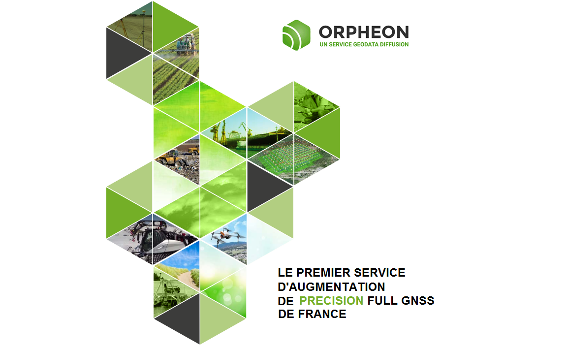
Géodata Diffusion, created in 2004, has become a major player in GNSS positioning in France. A pioneer in the implementation of the first permanent Full GNSS precision augmentation network in the country, the company now covers a large number of applications through a large network of approved distribution partners for all brands of GNSS receivers.

With the deployment of its Orpheon network of more than 182 reference antennas and the experience acquired since 2004, Géodata Diffusion offers increased productivity to all its users in the fields of topography, construction, 3D digitization, machine guiding, precision farming and bathymetry, but also for new applications concerning autonomous vehicles, drones (UAV) and connected objects (IOT and M2M).
Network modernization
Throughout the year 2017 Geodata upgraded the Orpheon network by updating part of the reference stations and replacing the older ones.
Since 7 September 2017, all the reference stations, the infrastructure and the correction calculation software allow us to deliver Full GNSS corrections: GPS + GLONASS + Galileo + BeiDou.
Orphéon becomes France’s first Full GNSS RTK network
By providing the first Galileo RTK corrections available in France, the Orphéon network demonstrates the strength of its commitment and the relevance of its technological choices to the daily service of its customers.
Our customers are not mistaken, each day more numerous, they confirm their confidence and we thank them.
50% more satellites
The addition of Galileo and BeiDou satellites to the GPS and GLONASS satellites makes it possible to significantly increase the number of satellites that can be observed simultaneously by a GNSS antenna.
This compatibility is already valid for our new RINEX online post-processing & download services.
The addition of GALILEO and BeiDou constellations through the Orpheon network is not a simple gadget, but the assurance of a better daily productivity in the field.
Indeed, you can count permanently on a constant availability of at least 6 additional satellites to bring you real advantages:
Increased positioning quality
- More satellites available to calculate its position
- Precise positioning even in difficult environments (urban canyons for example or under a canopy)
- Improved positioning reliability
- A shorter fixing time
We share the same requirement!
Géodata Diffusion continues to develop the quality of its services through personalized support, responsive technical assistance and continuous improvement of its infrastructures. Our goal is to offer customers a secure and innovative service, guaranteeing them a high and constant usage rate wherever they are, throughout the territory.
1- Imagine the future of Orpheon
For more information, see:
2- Provide very high level technical support
3- Ensure the complete and proactive maintenance of the network
To learn more, discover:
![]()
Geodata Diffusion is an independent entity of the Hexagon Group.
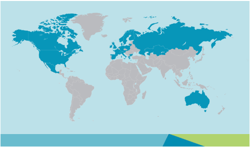
By joining the Hexagon group in 2014, the Orphéon network joined a vast network of reference stations within the first operational European NRTK network operating in 17 countries. With its international experience and expertise in real-time positioning, the Hexagon group, within its various companies, intends to offer the most consistent and extensive real-time positioning service with centimeter precision.
This secure infrastructure, set up and managed by the Hexagon group, allows the pooling of resources, the management of which is centralized. It also makes it possible to organize a service available 24/7 and to offer one of the highest availability rates on the market.
Increasing the accuracy of real-time positioning has become an issue and a critical requirement for high-growth areas such as autonomous navigation and precision farming.
This network is used daily by thousands of professional subscribers. Large groups and research centers therefore trust our network for their different applications and can benefit from Hexagon expertise.

Hexagon is one of the world’s leading providers of information technology that drives productivity and the quality of geospatial and industrial applications. Hexagon solutions integrate sensors, software, knowledge in different areas to optimize the workflow of its customers through intelligent and efficient information systems. They are used in a wide range of industries. Hexagon (Nasdaq Stockholm: HEXA B) has more than 16,000 employees in 46 countries. Learn more about Hexagon.com and follow us on @HexagonAB