


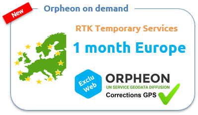
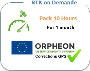
Orpheon on demand

For your short-term work or for your short stays in France, we offer a series of GPS correction services.
Ideal when you know a mission is coming and you want to make sure everything will be ready on D-Day.
In order to offer offers perfectly adapted to the needs of users, we have designed several one-time subscription formulas. These various services are marketed exclusively on our website in the form of subscriptions or hourly packages specifically adapted to short periods.
Services offered online

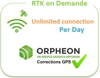
From
45,00 € HT

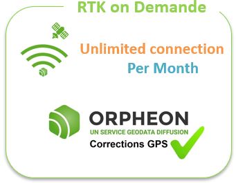
From
290.00 € HT / month

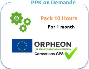
From
95,00 € HT

From
95,00 € HT

From
462.00 € HT / month

From
190,00 € HT
From
190,00 € HT


