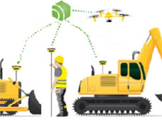
![]() The Orpheon network offers increased productivity to all of its users in many fields such as topography, construction, 3D digitization, machine guidance, precision agriculture and bathymetry, but also for new applications concerning autonomous vehicles, drones (UAV) and connected objects (IOT and M2M).
The Orpheon network offers increased productivity to all of its users in many fields such as topography, construction, 3D digitization, machine guidance, precision agriculture and bathymetry, but also for new applications concerning autonomous vehicles, drones (UAV) and connected objects (IOT and M2M).
Géodata Diffusion continues to develop the quality of its services through personalized support, responsive technical assistance and continuous improvement of its infrastructures. Our objective is to offer customers a secure and innovative service, guaranteeing them a high and constant utilization rate wherever they are, throughout the country.
Fields of application
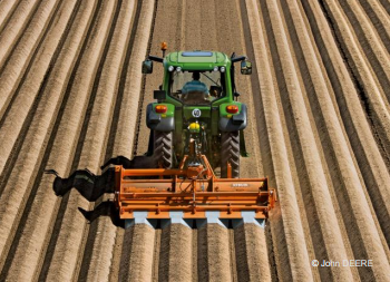
All operations requiring centimeter precision are faster, more efficient, and more economical. From the preparatory study phases, to the construction or development operations and end-of-site control, everything is optimized.
We offer you an overview of the different applications of the Orpheon network.
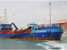
The Orphéon network facilitates and makes your measurements more precise in the coastal strip, but also on all the waterways of the territory.
For many years, the Orphéon network has been supporting surveyors in their daily missions…
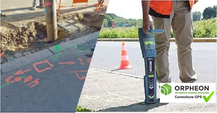
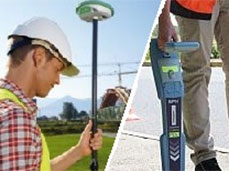
With the Orphéon network, geo-reference with precision the many buried networks that run through our territory.
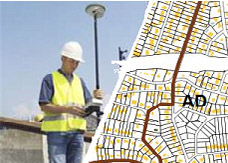
The NRTK GNSS Orphéon network supports you in your field GIS work, from the simplest to the most advanced.
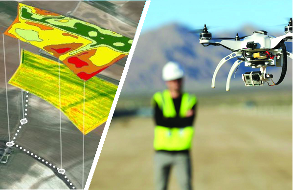
Drones (unmanned aerial vehicle: UAV) allow you to fly at altitude and take extremely precise readings of a large number of parameters.
Accurate trajectory analysis represents a new perspective for differential GNSS geopositioning, whether for dynamic measurements or navigation
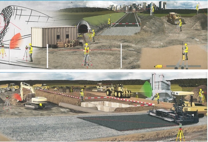
The Orphéon service allows you to be instantly operational on your worksites and offers you maximum flexibility for all your operations.
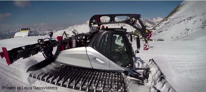
In the mountains, precision positioning has become a major asset in the management of ski slopes
With Orpheon, preparation work is reduced to a minimum and you can start working faster.

Tracking movements on the earth’s surface is an essential element in quantifying climate and environmental change.