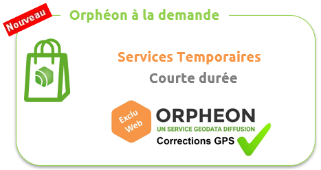

Orphéon on demand

For your short-term work or for your short stays in France, we offer a series of GPS correction services.
Ideal when you know a mission is coming and you want to make sure everything will be ready on D-Day.
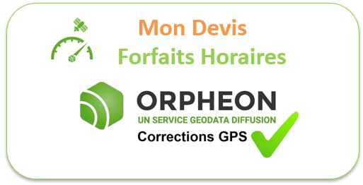
In order to offer offers perfectly adapted to the needs of users, we have designed several one-time subscription formulas. These various services are marketed exclusively on our website in the form of subscriptions or hourly packages specifically adapted to short periods.
The network makes your life easier: no base to transport, install, set up or monitor