20 countries with a single subscriptionEnjoy the accuracy and repeatability...
NEWS

The new premium European serviceThe RTK Orphéon Europe subscriptions we offer provide access to unlimited Full GNSS Real-Time GPS correction services with repeatable centimeter accuracy GPS + Glonass + Galileo + BeiDou.20...

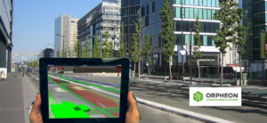
Orphéon: agility, precision and confidence Digital capture and georeferencing Reality...

Photogrammetry Like human stereoscopic vision, photogrammetry is used to reconstruct...
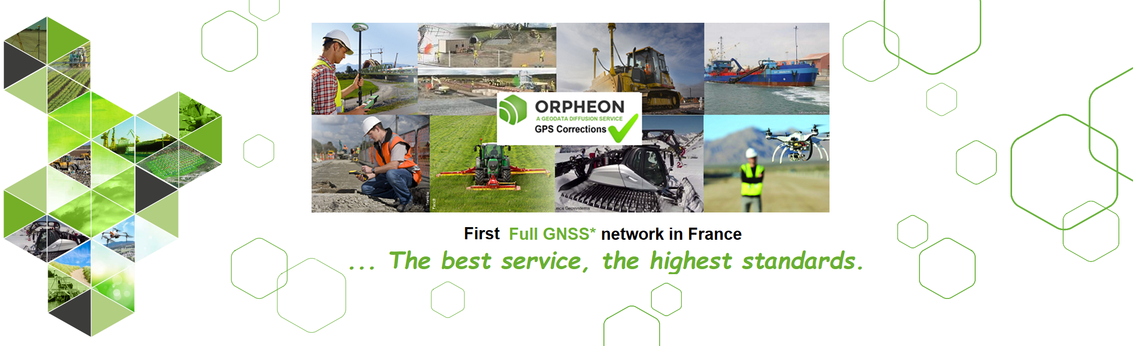
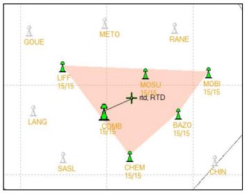
The real strength of the Orpheon network
You receive corrections from a combination of multiple surrounding stations for more stability in your measurements and accuracy in practice.
Our strength: positioning accuracy does not depend on the distance to the nearest station or network antenna.
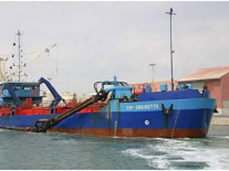
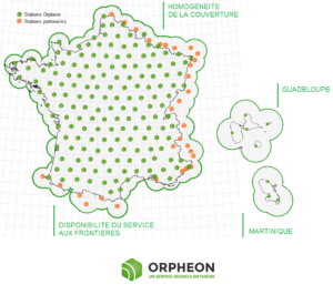
The Orphéon network facilitates and makes your measurements more precise in the coastal strip, but also on all the waterways of the territory.
For many years, the Orphéon network has been supporting surveyors in their daily missions…
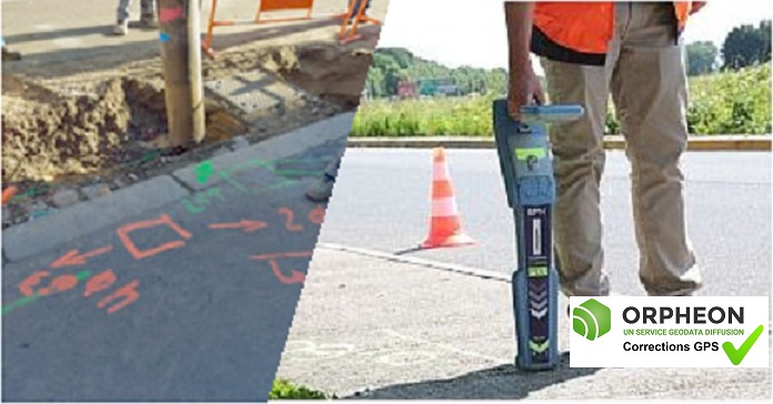
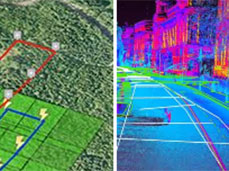
With the Orphéon network, geo-reference with precision the many buried networks that run through our territory.

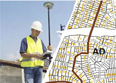
The NRTK GNSS Orphéon network supports you in your field GIS work, from the simplest to the most advanced.
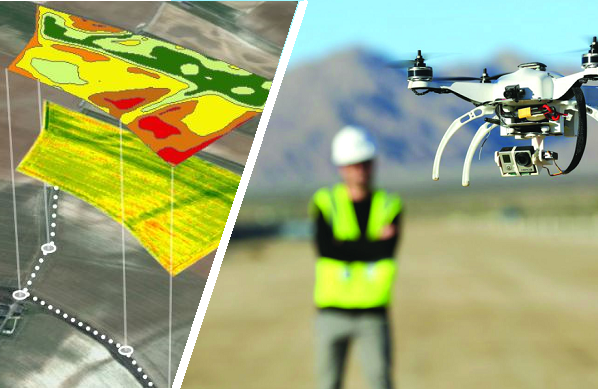
Drones (unmanned aerial vehicle: UAV) allow you to fly at altitude and take extremely precise readings of a large number of parameters.
Accurate trajectory analysis represents a new perspective for differential GNSS geopositioning, whether for dynamic measurements or navigation
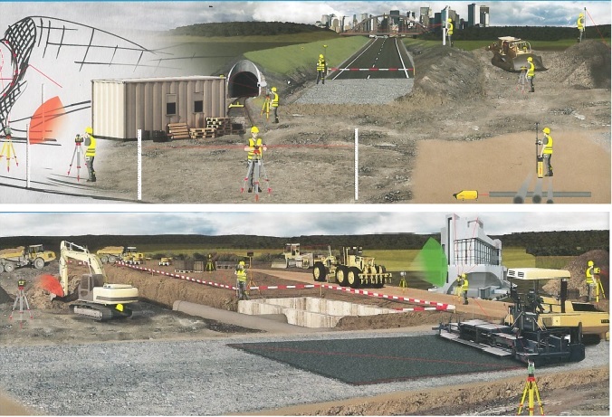
The Orphéon service allows you to be instantly operational on your worksites and offers you maximum flexibility for all your operations.
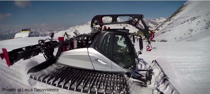
In the mountains, precision positioning has become a major asset in the management of ski slopes
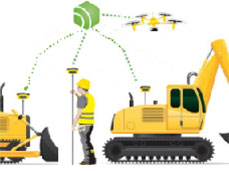
With Orpheon, preparation work is reduced to a minimum and you can start working faster.

Tracking movements on the earth’s surface is an essential element in quantifying climate and environmental change.
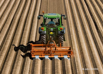
Precision farmingPrecision farming consists of using high-precision GPS positioning to conduct good agronomic practices within each plot, i.e. in addition to guiding the machines, providing each crop with the right...