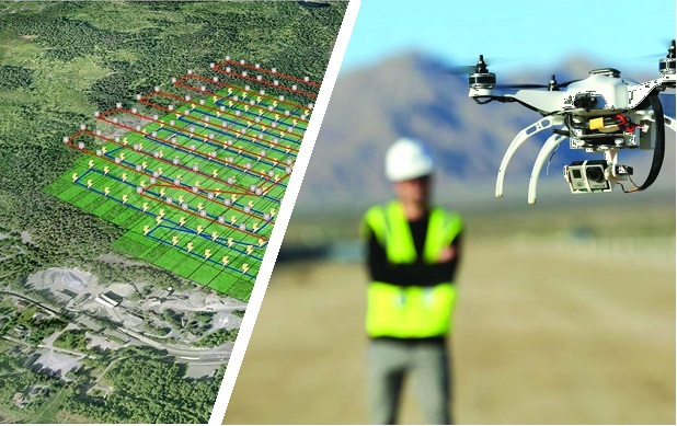
Drones: Centimetric photogrammetry with an RTK GPS

Photogrammetry

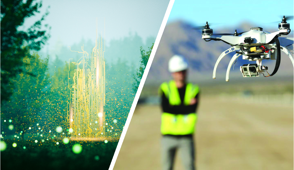
Like human stereoscopic vision, photogrammetry is used to reconstruct the relief of an area from different points of view. It makes it possible to carry out the 3D modeling of this zone, by using the parallax obtained between the images. Digital images increasingly facilitate and accelerate the correlation calculations between each of the images and make it possible to gain in precision. Aerial photogrammetry from drones makes it possible to cover very large areas, or to reach dangerous areas, which are difficult to access with increasingly rapid implementation, in particular by now dispensing with the preliminary topographic mission to precisely position ground control points (GCP’S for Ground Control Points).

Democratization of precision GPS

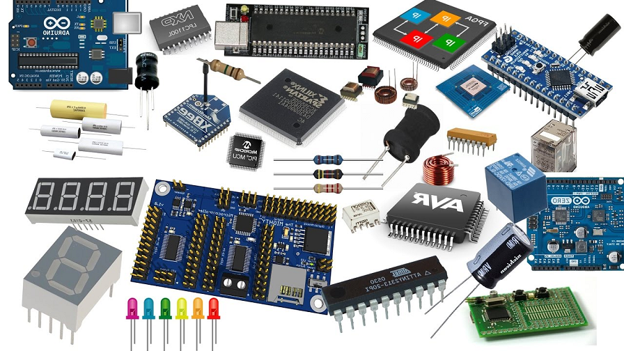
Today the integration of precision GNSS chips is democratizing by becoming affordable and makes it easy to imagine all kinds of practical uses. It then becomes possible to integrate an RTK receiver with centimetric precision in a compact, light and energy-efficient design to meet the requirements of use on board drones.

null

The exploitation of the GPS and the results can be done easily and inexpensively from open source solutions or various specialized applications opening even wider access to this advanced technology.

Because it is difficult to assess your activity over a year, between the delays in obtaining authorizations or waiting for a favorable weather window, the Orphéon network offers you a flexible offer adapted to your activity which will allow you to work in the best conditions.

Need corrections

The natural position provided by a GPS alone, gives a good idea of ​​where it is within a few meters, but is not precise enough to allow precision work. It requires correction so that its precision is increased and usable in the aerial photogrammetry mission or in many other fields of application (see).

Corrections from the Orpheon network

For more than 15 years, the Orpheon network has offered real-time RTK Full GNSS precision increase GPS correction services allowing users, using a single GNSS sensor, to position themselves with centimeter precision in the national reference anywhere in France and in the West Indies.

No more need for rigging points on the ground

From the moment the aerial photogrammetry solution has a precision GPS allowing the geo-referencing of the images, it is then possible to dispense with the setting points on the ground. Thus the implementation of the site becomes simpler and faster but also more flexible. It is then possible* to work in different places on the same day without prior topographical preparation. The financial gain is therefore not negligible.

Positioning in real time or Post processing

Once the various offsets have been set, such as the synchronization of the moment of image capture with the GNSS measurement using Time Marks or even the setting of the phase center of the receiver antenna with the optical center of the camera, two measurement methods are then possible to achieve the desired accuracy.

  • Real-time method: Real Time Kinematic RTK
  • Post processing method: Post Processing Kinematic PPK

real time:

This solution makes it possible to geo-reference in real time in dynamic mode each of the images synchronized with the time mark directly the national geographical reference system. For this, many solutions integrating mobile internet access save time afterwards on the processing of the images which will produce the result of the deliverable in 3D.

The post-processing:

This solution, which requires post-processing software, proposes to process in deferred time all the GNSS measurements taken and recorded during the flight in a stage prior to the processing of the images which will produce the result of the deliverable in 3D. Each of these two methods have their advantages. The choice is made more depending on the hardware solution with the application that will be selected. The Orphéon network allows you to choose one or the other of the methods without any problem.

The advantages of the network

In your professional practice, you can count on the knowledge, the know-how and the centimetric precision of the Orphéon network to meet your missions and your obligations. The network has been thought out and designed according to the rules of the art, it is constantly monitored and checked regularly. (Le réseau-Orphéon).

Everything has been thought out to allow you to benefit from increased productivityand move from one site to another without wasting time

With the Orphéon network, you work with identical precision throughout the territory thanks to a uniform distribution of stations in metropolitan France and the West Indies. Whatever your position, the distance from the nearest reference station is never more than 30 km.

100% Galileo and BeiDou correction services in addition to GPS and GLONASS:

  • more satellites (+22 Galileo)
  • faster fixing,
  • more measurement stability,
  • more availability,
  • better positioning
  • fewer multipaths
RTK precision positioning allows you to geo-reference your measurements simply and confidently in the national reference system in real time to save production time. Or even as a control tool thanks to the post-processing available online.
A regular mesh and a reinforced infrastructure for you to secure data transfer, for greater reliability and repeatability on a daily basis.
The availability of the service gives the possibility to work from day to night, in foggy weather etc. by focusing their attention on the GPS guidance tool and no longer on driving for an always impeccable result

* It is possible to work without a setting point on the ground and to obtain centimetric precision depending on the equipment and in particular the antenna used, to be attentive to the signal-to-noise ratio. As with all quality measures and depending on the importance of the 3D deliverables, it is still recommended to check on at least one known point. Depending on your experience, we advise you to approach our distributors who will provide you with a lot of advice and valuable know-how.