Field applications bloom
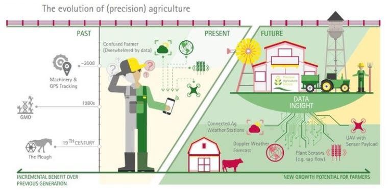
The farm of tomorrow
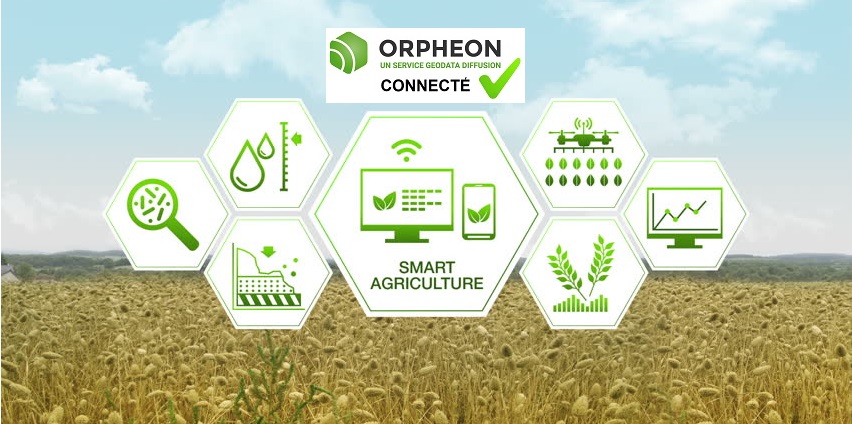
The digital transformation conquers new grounds, in cities, but also… in our fields. The transformation of the farm of tomorrow continues. It will be full of sensors and connected objects, the farmer or the operator will have his dashboard accessible via smartphone in his pocket and will be able to run predictive algorithms on the data collected to help him in his day-to-day work. and for decision making.The objectives are clear:
- Reduce hardship
- Have repetitive or complementary tasks carried out
- Realize new practices
- Focus on your most rewarding and productive tasks
- Reduce musculoskeletal disorders
- Improve your working and living comfort
- Have reliable support for your decision-making
- Have information about your activity and a history
- Strengthen your expertise and knowledge
- Reduce chemical inputs
- Conserve resources
- Meet your traceability obligations
- Control and reduce some of your operating costs
RTK Orphéon precision positioning, a tool for everything
Today the Orphéon network is used in multiple applications in the field of Agriculture. Its national coverage allows the fastest and simplest commissioning. Its availability and reliability also make it comfortable to use on a day-to-day basis, day and night. Our lower prices for 2016 allow you to access the best of RTK technology and the excellence of our services for a reasonable price.Cartography, drones, maintenance robots…
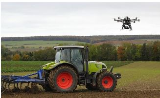
The corrections do not only concern the tractor’s GPS but also the GPS used for the digital mapping (GIS or geographic information system) of the plots, the drones or even the maintenance robots. For the GIS, these field GPS are used to couple positioning data recorded in the form of tables stored in databases: surveying data, machine traffic data and other operating information such as vegetation indices or the resistivity. Then this information can be recorded in the form of layers to view and analyze different aspects and details of the operation on maps (vector or raster) or images that become valuable decision-making tools.Autonomous precision robots
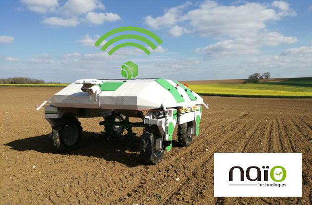
Whether it’s hoeing or helper robots, the Orpheon network provides a precision RTK signal allowing them to work in the most optimal way.
Precision irrigation
For better use of water: Managing your irrigation well, thanks to good observation of natural elements and new technologies, means preserving precious water resources but also optimizing this energy-intensive item (irrigation represents an overall cost of 2 to 2.20 € per millimeter of water provided: Arvalis-2017). The new plot irrigation management tools make it possible in particular to reduce consumption, to better adapt it or distribute it over time, but also to reduce monitoring times, offering a little more comfort.
The Orpheon network is compatible with all GPS RTK irrigation booms, and thus avoids you having to invest in a base station or finding yourself without positioning in the event of its stoppage.
The now very reasonable cost of our services allows you to access the best in positioning technology without having to worry about commissioning or maintaining a base station.
The most technically advanced network with Galileo and Beidou constellations in addition to GPS and Glonass will allow your system to position itself correctly even near trees with very low sensitivity to interference.
Telemetry
Whether it is to optimize machine performance or improve monitoring by anticipating maintenance steps, the Orpheon RTK positioning signal is compatible with all brands of your GPS-equipped equipment and tractors. The advantage of this remote monitoring is therefore twofold for farmers and other agricultural professionals. The SIM card used for guidance is also used to transmit all telemetry information to the internet servers of your applications. So you rationalize your investments with a single modem and access to multiple services.Optimization, savings and traceability…
The optimization of the information thus collected allows a better preparation or a better control of the returns or even the taking into account and the traceability of specific agronomic needs according to the different exploited zones. The interfaces or different existing software, easy to use, allow you to view, modify and export all the information collected
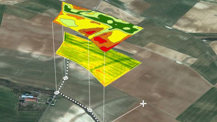
The coupling of this positioning data can also be shared with other equipment also using precision GPS and RTK corrections. Thus this data can be used or come from:
- drones for crop or soil analysis work, for example
- or maintenance robots for hoeing work, for example. with additional ai information relating to air temperature and humidity per sensor, soil temperatures and humidity at 10 cm, grass cover, number of feet
Equipment connection needs are increasingly important and widespread thanks, in particular, to the additional services they allow in addition to RTK correction services: remote assistance, telematics, downloading, now available on board (see Extended Stream SIM cards). The possibilities and developments are rapid and seem endless.
The Orphéon offer for Precision Agriculture
The Precision Agriculture offer A specific offer of packages and subscriptions corresponding to your needs and adapted to your operation.Choice of SIM card
Mobile Internet access To save you additional steps and expenses, we have forged close partnerships with the major French mobile operators SFR and Orange to provide you with SIM cards for mobile internet at the best conditions.Orpheon Smartphone Apn
Network and subscription monitoring The free Orpheon application gives you access from your smartphone to a large number of very practical and complementary features of your subscription or package.


