
The Orphéon network accompanies you in your multiple works throughout the year, over the seasons.
Repeatability:
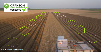
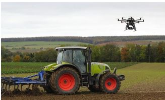
The Orpheon network offers you real-time RTK GNSS corrections which are the only corrections whose centimetric precision systematically allows you to return to the same place month after month. With Orpheon, preparation work is reduced to a minimum and you can start working faster. Everything has been thought of to allow you to benefit from increased productivity thanks to RTK autoguidingAbsolute precision:
Due to its stability and availability, it is the solution that offers the most possibilities and flexibility in terms of the type of work that can be performed, but also the greatest availability and accuracy of corrections over time, for all the work of the more common to more demanding jobs. Orphéon allows you to obtain precision adapted to each of your needs in all circumstances:
- NRTK: Absolute accuracy of 2 cm.
- No signal drift
- Receipt of instantaneous corrections, no convergence time
National coverage:
The Orphéon network covers the entire metropolitan territory, its unique dense network means that you are never more than 30km from a reference base station. The most regular network structure in France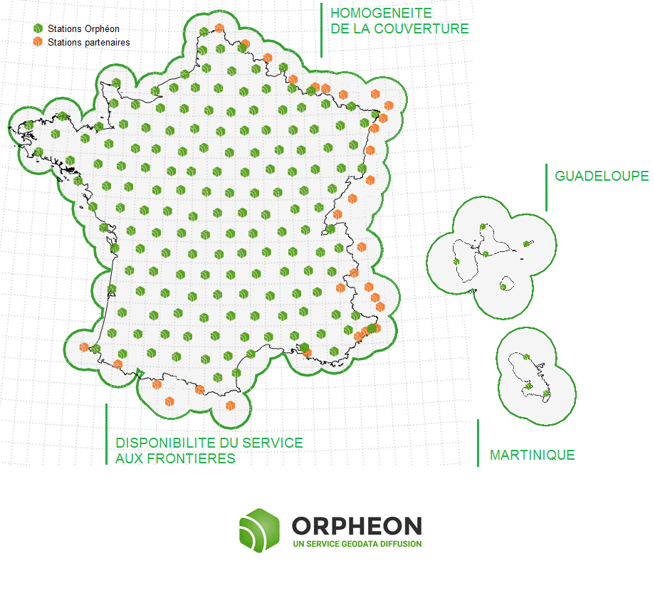
Click on the map to access the interactive network map
Availablity :
A reinforced structure:
The Orphéon correction service is particularly suited to the needs of agriculture. The network mode makes it possible to receive corrections of excellent quality and to work continuously even if the nearest station is stopped. All of our computer facilities are duplicated in different locations to ensure continuous service.
Additional satellites:
The addition of the Galileo and BeiDou satellites to the GPS and GLONASS satellites means that you can always count on the constant availability of many additional satellites to bring you real advantages:
- More satellites available to calculate its position
- Precise positioning even in difficult environments (near trees or buildings for example))
- Improved positioning reliability and stability
- Shorter fixing time

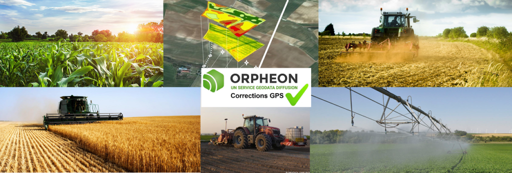
Géodata Diffusion First Full GNSS network in France, offers various possibilities of subscriptions or packages adapted to your present and future needs.
The choice of the type of transmission has a major impact on access to the new possibilities offered by the increasingly widespread Internet applications in precision agriculture.
Network or single-station solution?
The Orphéon network has for many years been supporting an ever-growing number of farmers and demanding professionals who are satisfied with the quality of our services.
For agricultural work, it is interesting to take an interest in the repeatability of the precision delivered by a correction signal for your guidance systems.
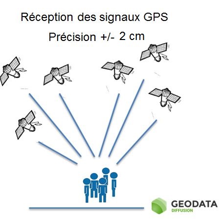
The natural position provided by a GPS alone, gives a good idea of where it is within a few meters, but is not precise enough to allow precision work.
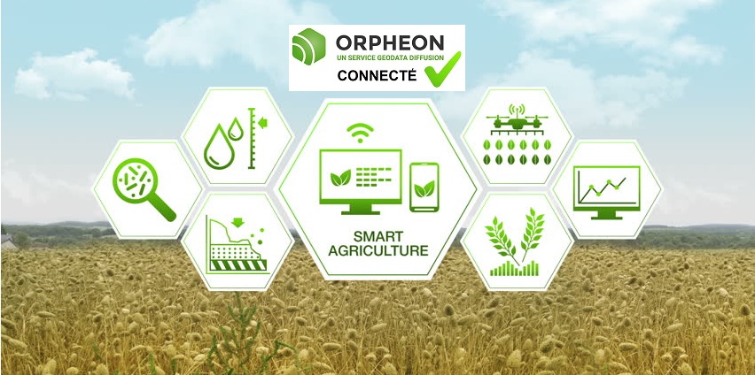
The corrections and precision provided by the Orpheon network can also be coupled with many other geo-localized information for the extended management of your operation.
Although Geodata Diffusion is not intended to sell hardware, we would like to give you a brief overview of the different applications.
The Orphéon network supports you in your agricultural work throughout the year, throughout the seasons.
The use of GPS-GNSS receivers, more and more widespread, is subject to some reception constraints related to certain parameters or phenomena that can affect the quality of the signals and therefore the work carried out.