Robotics, IoT, autonomous vehicles, R&D, Innovations
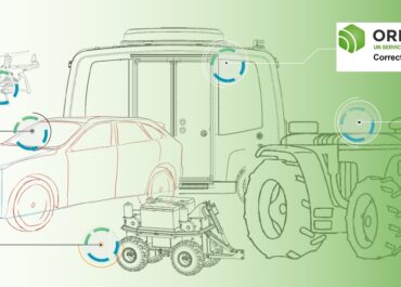
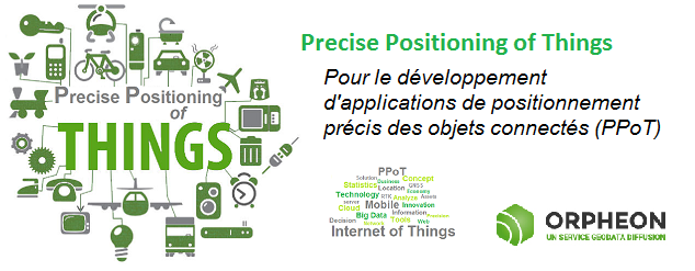
With the development of technologies and the emergence of the Internet of Things (IoT: Internet Of Things) allowing them to communicate, it became clear that we now needed to locate these objects with precision.
A very large number of these objects accompany us in our movements or are simply in motion. It then becomes very interesting, even essential, to be able, at any time or a posteriori, to locate or precisely materialize their movements thanks to a precision GPS and a correction. Orpheon!
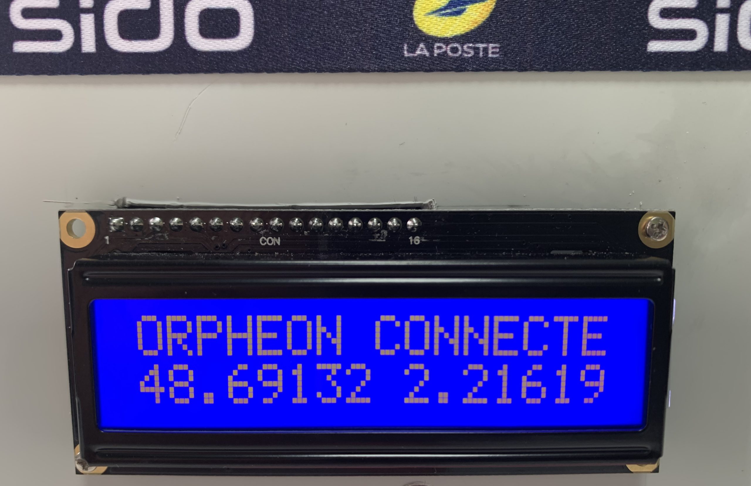
The Orphéon network with the pioneers
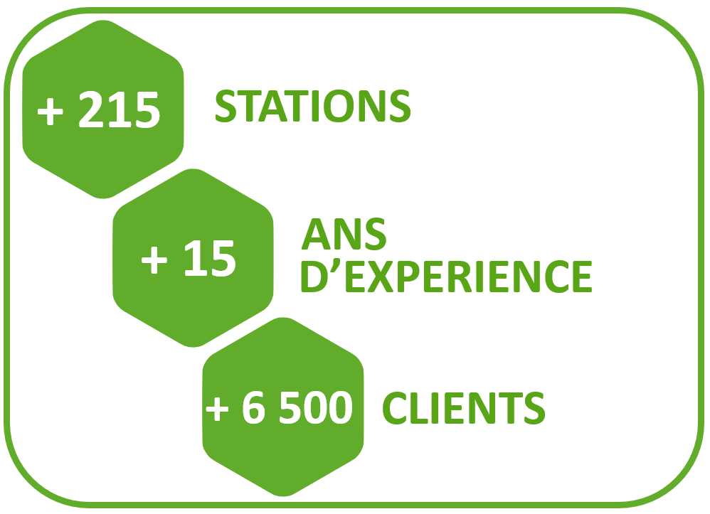
For more than 15 years, Orphéon has offered centimetric precision positioning thanks to real-time RTK corrections, which are the heart of our activity and for which we have developed unparalleled expertise. We provide this type of corrections to all kinds of so-called “traditional” applications: for topography, cadastre, agriculture, machine guidance, bathymetry, cartography or GIS, but we also provide these corrections to applications of tomorrow.
Need more precision than with a classic GPS
Many applications exist today precisely to locate these objects but do not have the precision necessary to take a real advantage.
With ± 5m of precision a classic GPS gives an idea of a position or a route, but when you want to guide a movement to avoid obstacles or you need to know in detail a trajectory, an exact position at an instant t, centimetric precision then becomes indispensable and vital.
A precision GPS associated with corrections from the Orpheon network provide the desired centimetric precision.

Corrections to gain precision
For its accuracy to be increased and usable in agricultural work, surveying, machine guidance or in many other fields of application (see) It requires corrections.
Precision GPS
We distinguish two types of GNSS receivers:
- Consumer receivers (Watches, telephones, tablets, cars etc…) which will work only in natural mode without the possibility of improving their precision thanks to corrections
- Precision receivers (RTK), which will be able to integrate external correction data allowing them to increase their precision.
Democratization of technology
Today the integration of precision GNSS chips is democratizing by becoming affordable and makes it easy to imagine all kinds of practical uses. It then becomes possible to integrate a centimeter-precision RTK receiver in a compact, lightweight and energy-efficient design to meet the requirements of these new applications and thus free the imagination and creativity.
Already some design offices, start-ups but also large groups are taking a close interest in our correction solutions to develop their applications for the precise positioning of connected objects (PPoT). Pioneers in their fields, they rely on controlled technology that has proven itself and whose effectiveness is well established.
The first applications
Among the first visible applications, the positioning of drones (UAV), robots or the guidance of autonomous vehicles are the best known, but other projects are under study and are beginning to emerge. They are of interest to equipment manufacturers, integrators, insurers, home automation or logistics and many other sectors of the economy or categories of users such as: managers, company managers, political decision-makers, researchers, health actors, speculators, financial markets.
Embedded artificial intelligence
Artificial Intelligence has so far relied on software bricks installed on networks and centralized computer servers (Cloud), but the proliferation of some of these applications requiring unprecedented reaction capacity will require decentralization by directly embedding AI in the closer to its use. The new revolution of Artificial Intelligence will thus go through the development of dedicated electronic components.

Freed from a connection to the Cloud or to any network, the systems will be completely independent, will be able to process the data themselves and make decisions with considerably reduced latency. The systems will then become completely independent offering a better guarantee thanks to uninterrupted operation. These embedded solutions will also offer energy sobriety by drastically reducing data transfers and lowering storage costs.
Prospects and examples
Every day, we are witnessing a very strong increase in the use of this concept of precise positioning of objects and a swarm of new ideas because this PPoT concept (see article) also generates a source of information and a very large volume of data. important associated with different activities opening up, here again, to all new applications and new professions.
The robotics
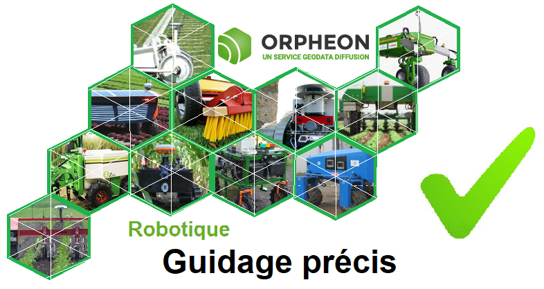
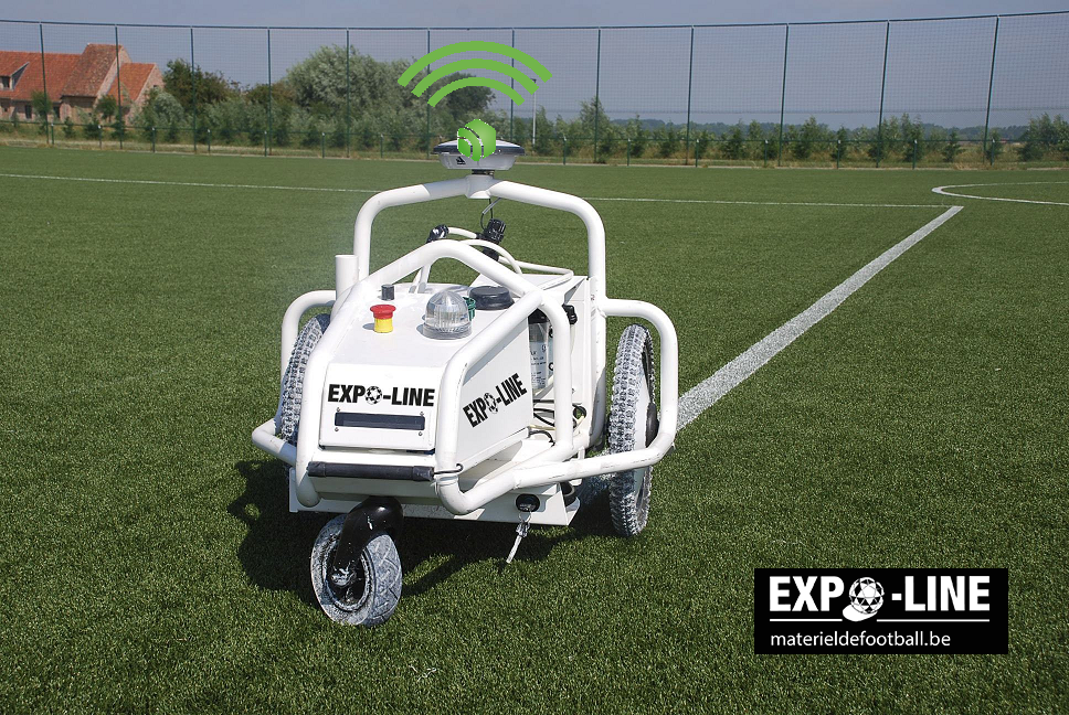
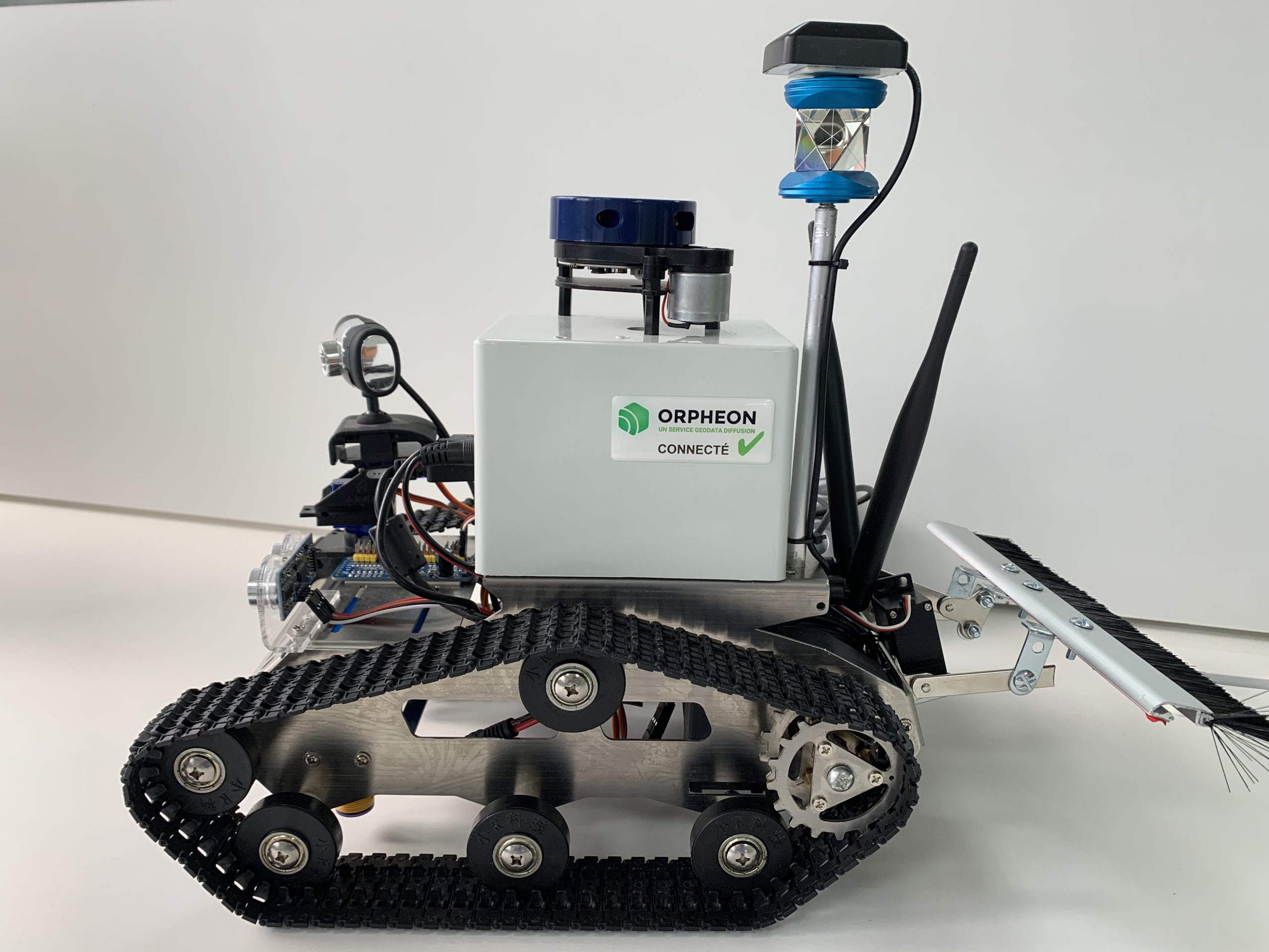
Robotics was one of the first RTK GPS guidance applications to find concrete outlets among recent innovations on land, at sea or in the ars. Design offices and start-ups quickly developed the first prototypes of work robots using RTK corrections for their positioning. Whether in agriculture, maintenance, transport or even in industry, many robots are now commercialized. The precision contribution of GPS RTK corrections with 2cm in the autonomous guidance of these machines has made it possible to go further in precision while securing their various movements.
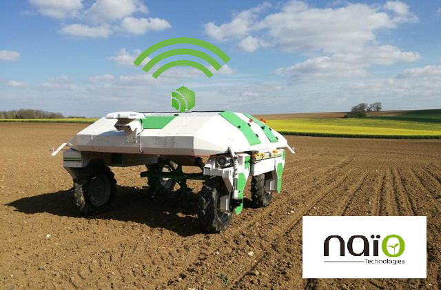
The developments of autonomous robots using precision GPS foreshadow what will be the autonomous vehicles of tomorrow. True bases for experimentation, these developments make it possible to test life-size in less constrained environments, increasingly effective and controlled solutions. Equipped with innovative technologies, these work autorobots or autobot also carry with them a multitude of sensors, optical systems, automated systems, image processing and are responsible for collecting a host of data in addition to performing tasks to which they were designed.
Augmented reality in the field is gaining in precision.
La réalité augmentée sur le terrain est en train de gagner en précision et en stabilité. Désormais des développeurs utilisent un GPS de précision connecté à leur tablette et le signal RTK du réseau Orphéon pour afficher un modèle 3D directement sur le lieu d’utilisation ou de construction à l’échelle 1:1. .. lire l’article .. lire l’article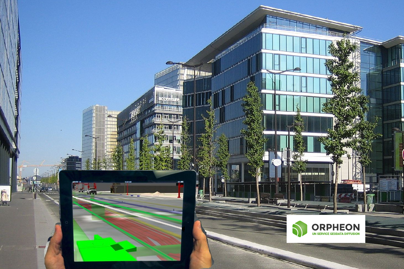
Augmented reality more precise and stable thanks to centimetric corrections
Autonomous vehicles
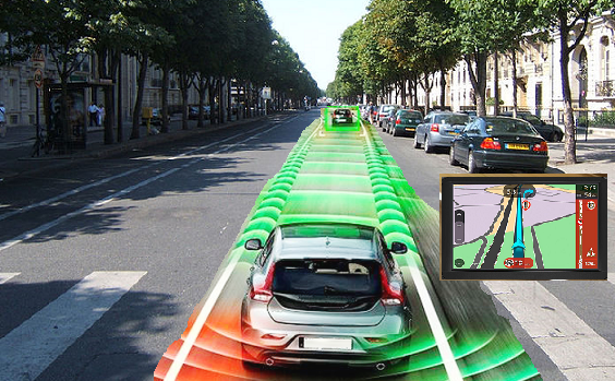
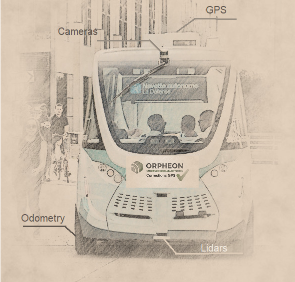
The autonomous vehicle market is growing at high speed. Car manufacturers and equipment manufacturers, as well as new entrants such as web giants, are multiplying their projects. Different technologies come into play (cameras, LIDAR, inertial units, GNSS positioning, etc.) all to ensure precise piloting and when it comes to precision, Géodata Diffusion has its say.
The Orphéon network already being tested with autonomous cars
The adoption of precision GPS guidance with RTK corrections from the Orpheon network in addition to optical security elements or even miniature inertial units adds the interest of GPS by its flexibility to adapt to all types of location. The Orphéon network has demonstrated the benefits of its national infrastructure in France, but also its integration into a global network, opening up wide possibilities to manufacturers.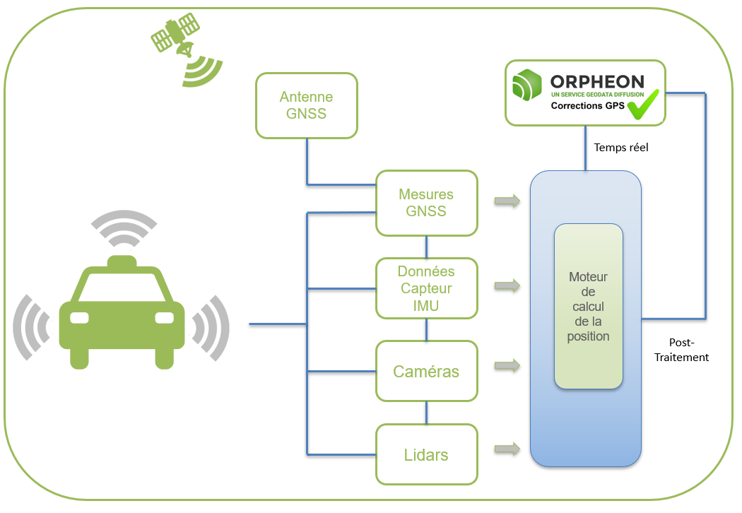 Different technologies come into play (cameras, LIDAR, inertial units, GNSS positioning, etc.) all to ensure precise piloting and when it comes to precision, Géodata Diffusion has its say.
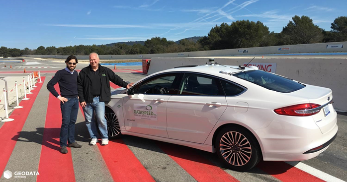
On February 22, 2017 we were at Le Castellet on the Paul Ricard circuit alongside Dataspeed for full-scale testing … lire l’article
Big Data
The analysis of masses of data or Big Data generated by the precise positioning of objects in the various fields of application brings new ways of seeing and analyzing our world, thus opening up new opportunities aimed also at reducing certain risks, facilitating the decision-making or enable differentiation through predictive analysis.
Greatly facilitated development
The Orphéon network offers, thanks to its user interface, tools that facilitate your daily work or the development and integration of precision GPS chips in your projects.
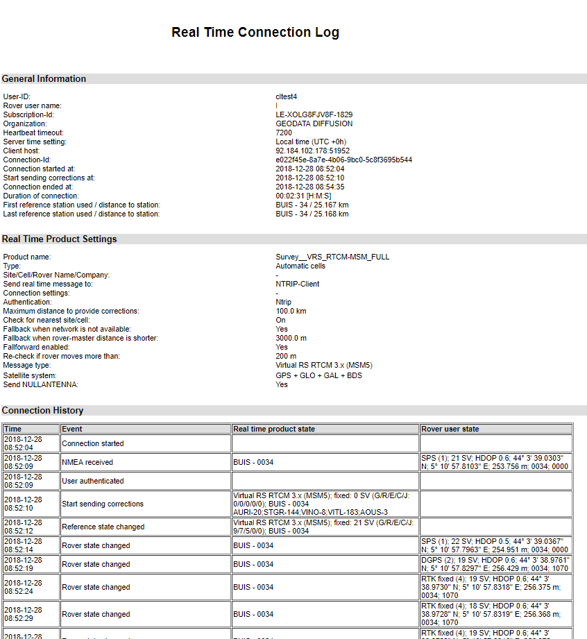
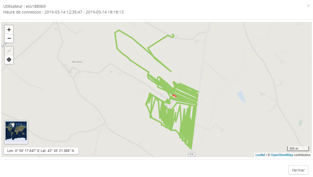
Thanks to the possibilities of analyzing connection logs and viewing trajectories directly in the Orpheon client space, it is easier for developers during the debugging phases to understand the behavior of their programs and thus improve the performance of their output.
Orpheon Investments
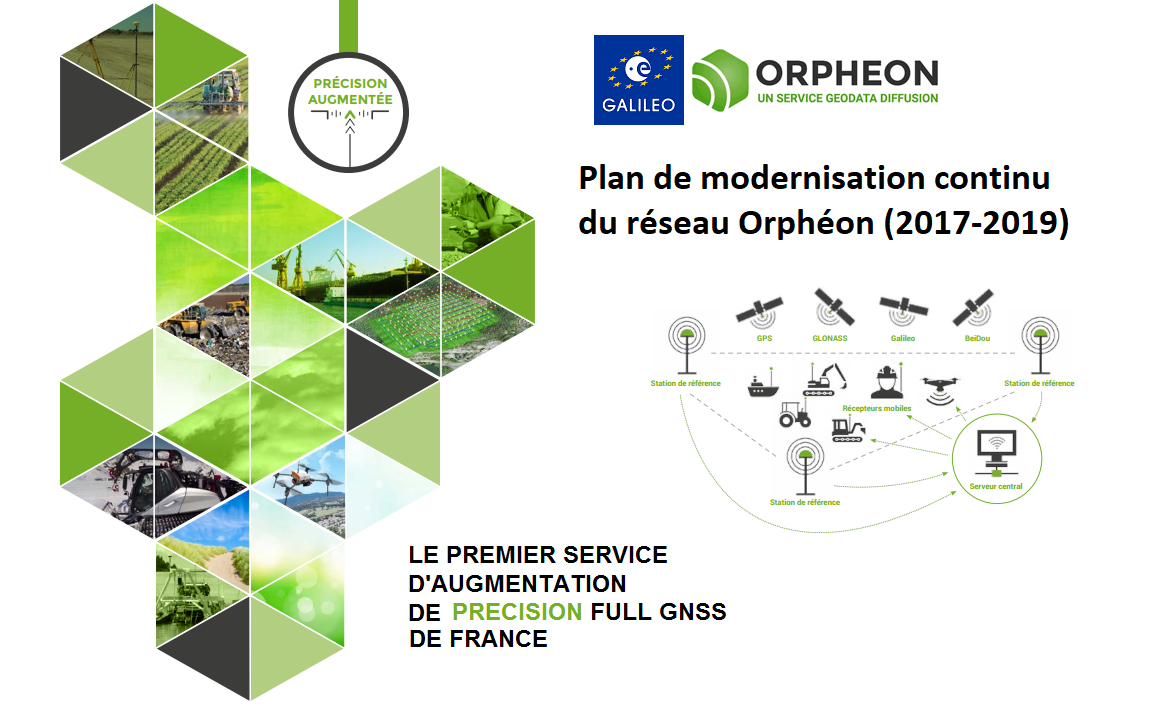
For Géodata Diffusion, the challenges are daunting, but we are prepared. We consider this to be an opportunity to demonstrate and promote our sense of innovation and the know-how acquired over the past 10 years. Each year we continue to invest in order to strengthen our network to guarantee the availability of a high quality precision positioning service. The Orphéon network now benefits from a unique reinforced infrastructure guaranteeing access to very high level data…. Lire l’article
Finally, by providing the first Galileo RTK corrections available in France, the Orphéon network demonstrates the strength of its commitment and the relevance of its technological choices in the daily service of its customers.
The expertise of the Hexagon group
Hexagon develops and brings together technologies, solutions and services in a coherent offer to provide the most precise positions in any environment. Hexagon combines both sensor fusion and GNSS expertise, a global correction services infrastructure, authentication and integrity to alleviate the limitations of GNSS and deliver accurate and reliable positioning.
Our customers are not mistaken, every day more numerous, they confirm their confidence in us and we thank them.
Discover our services and our offers
In the context of tests, trials aimed at proving or validating a solution, we may make available a free trial offer for limited and temporary access to corrections from the Orpheon network.
Tell us about your needs and the scope of your tests so that we can study your request.

