Share the post "Drones: RTK GPS corrections with the Orpheon network."
Drone technology is constantly evolving and allows them to be assigned increasingly varied professional missions.

Real-time RTK corrections with the Orpheon network
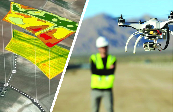
Thus, the integration of RTK GPS and latest generation inertial units combined with the Orpheon real-time correction GNSS network facilitates the processing of data or images and the production of excellent quality professional reports. Different fields of application have been tested: in cartography, in aerial topography, for the exploitation of mines or quarries, in photogrammetry or 3D surveys or even in agriculture. Thus, the corrections provided by the Orphéon network combined with this equipment in a turnkey solution allow rapid implementation and simplified deployment throughout the territory, since they make it possible to dispense with the installation of a second GNSS receiver (base). These tests have made it possible to validate solutions with centimeter precision and now allow manufacturers and distributors to offer Orpheon services at prices adapted to each need.
The first users are already using these solutions and have confidence in the quality of Geodata’s services.
These tests have made it possible to validate solutions with centimeter precision and now allow manufacturers and distributors to offer Orpheon services at prices adapted to each need.
The first users are already using these solutions and have confidence in the quality of Geodata’s services.
Quick implementation
Depending on the weather conditions and the flight windows, you can chain different sites without having to waste time setting up a base on the ground or monitoring it. The Orphéon network assures you of an optimum precision service throughout the territory. Similarly with real-time RTK corrections, there are fewer precise ground control points to place.Less post-production work
With real-time corrections, the data you get during a flight will be reliable and accurate data, you can focus on your mission.
Real time but also PPK post-processing with Orphéon
With the Orpheon network, it is also possible to post-process your data and effectively correct gaps or errors once the flight is over, particularly well suited to long or particularly complicated work. Post-processing can also be the solution in the event of unavailability of mobile internet in the work area preventing you from receiving real-time RTK corrections, but not preventing you from working and carrying out your mission. This method involves recording the raw positioning data provided by the GPS (it is important to pay particular attention to the format of the data recording)