Share the post "Autonomous robots: RTK GPS technology for robot mowers"
Here is a new example of real-world application and benefits of real-time kinematics (RTK) used in field robotics to help a mobile robot accurately position itself, navigate obstacles, and follow waypoints based on location. ‘application.
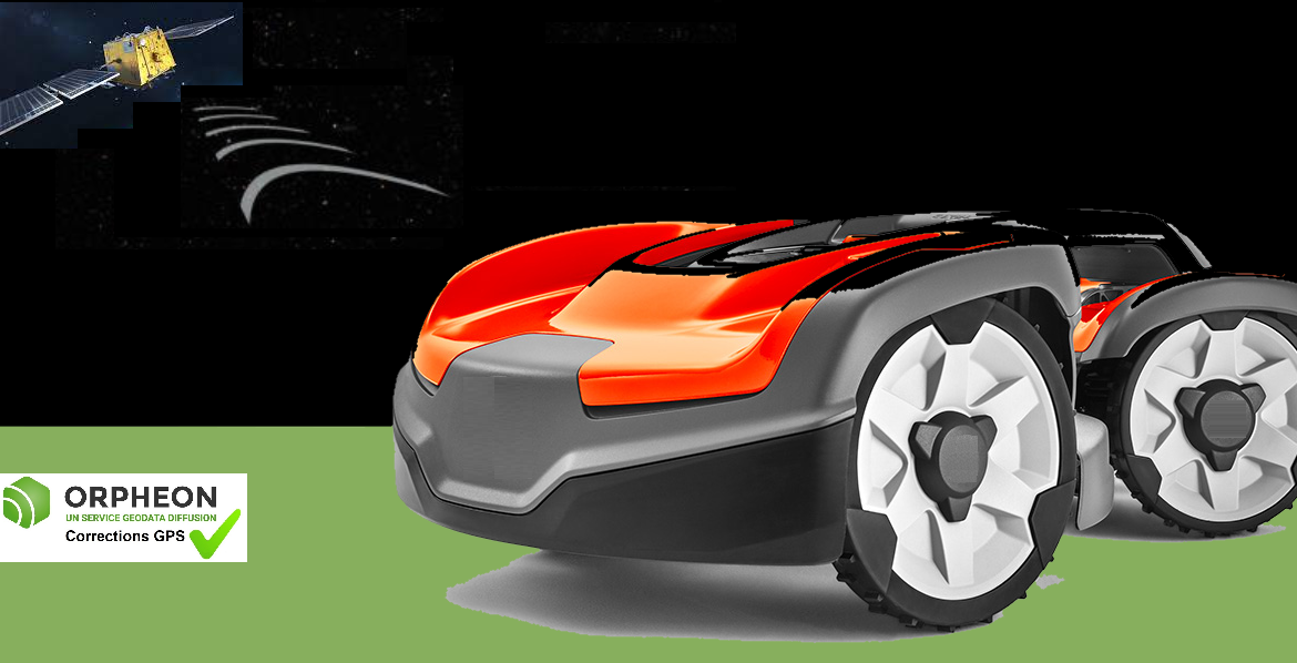
Precision GPS at the service of robot mowers
Gardening robots are not immune to the latest developments to simplify their use, especially in the professional field.
Before GPS
Some self-contained machines needed a boundary wire to delimit the area in which the mower had to work. This cable can either be fixed to the ground using pegs or buried. To define several different zones, it was therefore necessary to delimit each of them before starting the mowing cycle. Depending on the different surfaces to be mowed, this preliminary work could be particularly long and therefore costly.
With the arrival of precision GPS
The work of preparing the different work areas is therefore greatly simplified thanks to the entry of a few GPS coordinates.
Then, the on-board GPS system establishes a virtual map of the area as you mow. Thus, the mower remembers the places it has already passed during a mowing cycle and will not return there unnecessarily. This operation is very different from models of autonomous mowers which generally cover the mowing area randomly, which made them go over multiple times on already mowed places.
The work of the robot therefore becomes more rational and efficient, which saves both energy and therefore autonomy, but also saves time. This time can be particularly important depending on the places where this work must be done.
Faster and more efficient mowing
With such an advanced guidance system, mowers can now mow the terrain with straight lines, the robot will no longer turn away if it faces a higher grassy area mistaking it for an obstacle.
Sports centers whose grounds have a high occupancy rate, time management is a complex issue and saving time is a definite advantage.
The same is true for the surroundings of a railway track or this example of the security zones of the Norwegian international airport, located in Sola. And this, without having to mow only at night.
Accurate GPS and mobile internet connection
Many applications exist today precisely to locate these objects but do not have the precision necessary to take a real advantage.
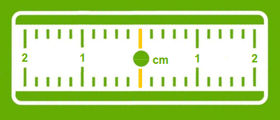
With ± 5m of precision, a classic GPS gives an idea of a position or a route, but when you want to guide a movement to avoid obstacles or you need to know in detail a trajectory, an exact position at an instant t, centimetric precision then becomes indispensable and vital.
A precision GPS associated with corrections from the Orpheon network provide the desired centimetric precision.
Corrections to gain precision
For its accuracy to be increased and usable in agricultural work, surveying, machine guidance or many other application areas (see) It requires corrections.
Precision GPS
We distinguish between two types of GNSS receivers:
-
-
-
- Consumer receivers (Watches, phones, tablets, cars etc…) which will only work in natural mode without the possibility of improving their accuracy through corrections
- Precision receivers (RTK), which will be able to integrate external correction data from the Orpheon network allowing them to increase their precision.
-
-