


The major issue:
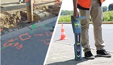
Locate all sensitive buired networks with an accuracy of 10 cm
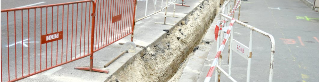
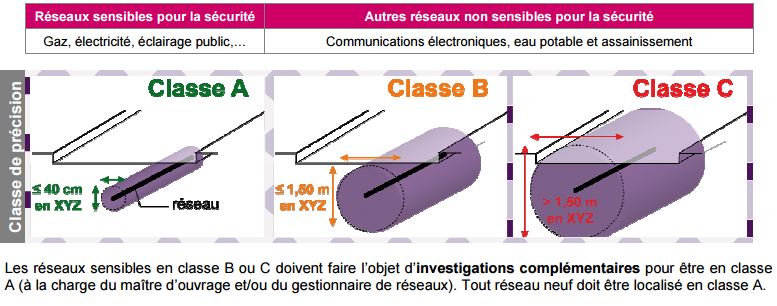
The new regulations reinforce the obligation to ensure the safety of the works by the project owner thanks to the precise location of the networks. Thus, all recipient operators of a work request (DT) will be required to transmit network location data so that the work can be carried out in complete safety. The networks will be qualified according to three accuracy classes (see page 9 of the guide):-
-
-
-
-
- class A (40 cm, which amounts to taking readings with a precision of 10 cm),
- class B (between 40 cm and 1.0 m)
- class C (greater than 1.0 m).
-
-
-
-
-
-
-
-
-
- the interruption of work on a site as soon as a dangerous situation is encountered and strengthening the skills of machine operators and site managers in the field of work safety near networks, obligations which will be subject to periodic updates and verification.
-
-
-
-
Orpheon brings precision and stability
The centimetric precision provided by the use of a precision GPS associated with the RTK correction signal from the Orpheon network then becomes essential and greatly facilitates detection tasks in the field.
Provide RTK GPS corrections
The Orphéon network is made up of nearly 220 observation stations, spread throughout the territory of mainland France and the West Indies. All of our stations form a large balanced network that allows us to deliver RTK corrections to our many customers to increase the accuracy of their precision GPS. Our various services are marketed in the form of subscriptions or hourly packages.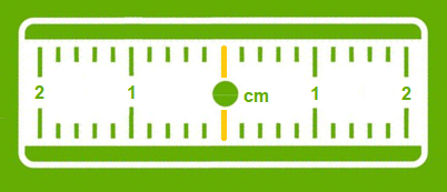
A Full GNSS network: one step ahead
Our customers connect to our NRTK real-time corrections services with their GNSS-compatible equipment and take full advantage of the new Galileo and BeiDou corrections in addition to traditional GPS and Glonass. The addition of these very many additional satellites brings more precision and availability even in the most difficult conditions of use.