Share the post "Precision Farming: RTK GPS Corrections and Precision Applications"
Le Roi de l’autoguidage… c’est le RTK.
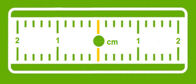
Précision à 2 cm, répétabilité …
Il n’y a rien de plus précis.


Géodata Diffusion First Full GNSS network in France, offers various possibilities of subscriptions or packages adapted to your present and future needs.
The choice of the type of transmission has a major impact on access to the new possibilities offered by the increasingly widespread Internet applications in precision agriculture.
Network or single-station solution?
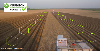
The Orphéon network has for many years been supporting an ever-growing number of farmers and demanding professionals who are satisfied with the quality of our services.
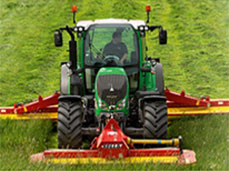
For agricultural work, it is interesting to take an interest in the repeatability of the precision delivered by a correction signal for your guidance systems.
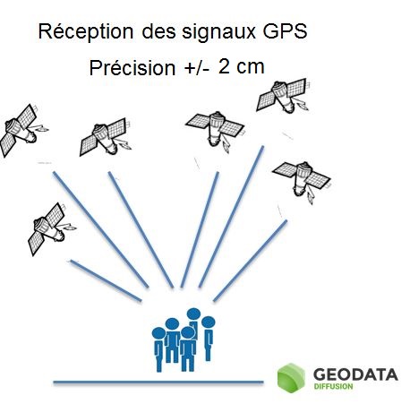
The natural position provided by a GPS alone, gives a good idea of where it is within a few meters, but is not precise enough to allow precision work.
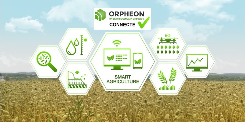
The corrections and precision provided by the Orpheon network can also be coupled with many other geo-localized information for the extended management of your operation.
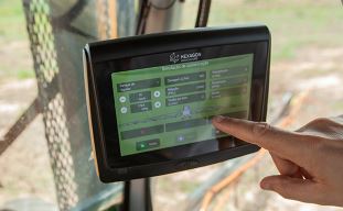
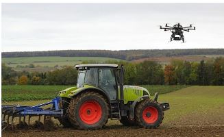
Although Geodata Diffusion is not intended to sell hardware, we would like to give you a brief overview of the different applications.
The Orphéon network supports you in your agricultural work throughout the year, throughout the seasons.
The use of GPS-GNSS receivers, more and more widespread, is subject to some reception constraints related to certain parameters or phenomena that can affect the quality of the signals and therefore the work carried out.